


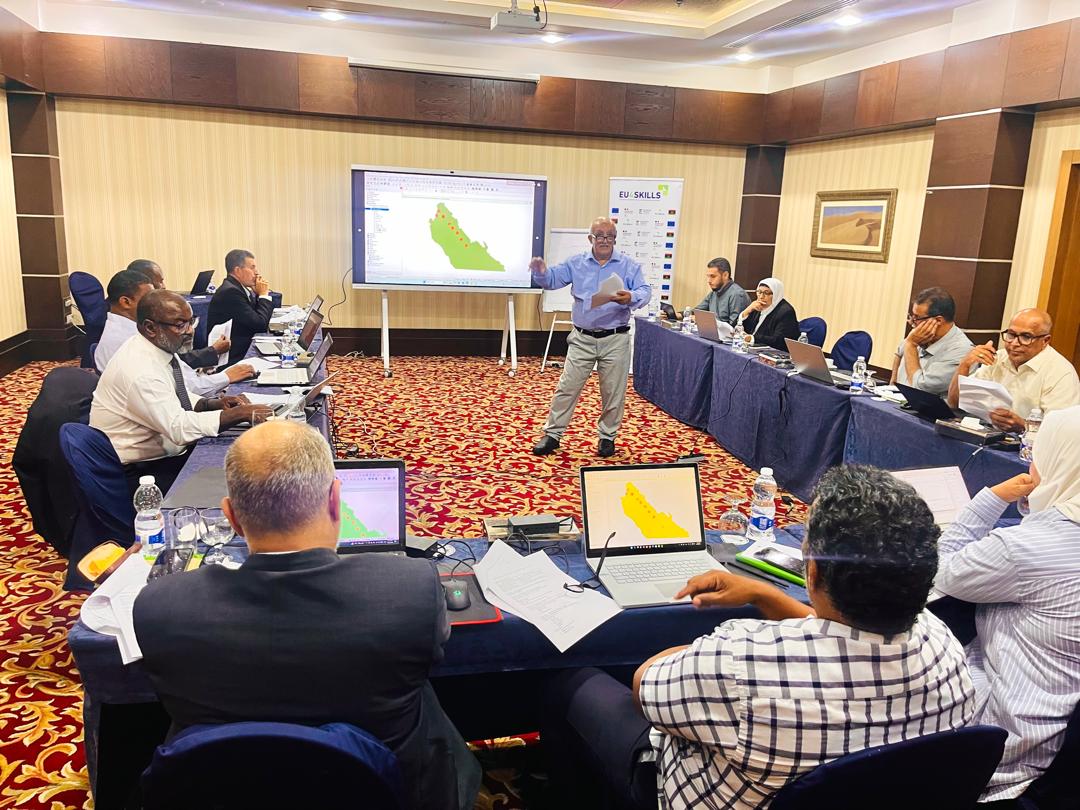
𝐏𝐡𝐚𝐬𝐞 𝐓𝐰𝐨 𝐨𝐟 𝐭𝐡𝐞 𝐆𝐞𝐨𝐠𝐫𝐚𝐩𝐡𝐢𝐜 𝐈𝐧𝐟𝐨𝐫𝐦𝐚𝐭𝐢𝐨𝐧 𝐒𝐲𝐬𝐭𝐞𝐦𝐬 (𝐐𝐆𝐈𝐒) 𝐓𝐫𝐚𝐢𝐧𝐢𝐧𝐠
The second phase of the training on Geographic Information Systems (GIS) and remote sensing using QGIS is taking place in Tripoli from 25 to 29 October 2026. The training is led by Dr Hussein Al-Ramali and brings together specialists and academics in agriculture and water management.
This phase focuses on practical applications, including analysing groundwater quality and levels, assessing soil characteristics and salinity and its suitability for agriculture, analysing satellite imagery to assess vegetation cover, validating spatial data, and producing geological maps.
Building on the first phase, the training aims to strengthen participants’ technical skills and enhance their ability to use geospatial technologies to analyse natural resources and support planning and decision-making. A subsequent training phase will provide participants with further opportunities to develop their skills in this field.
This activity is implemented under the EU4Skills project, funded by the European Union, co-financed by the French Government, and implemented by Expertise France in partnership with Libyan institutions. The project aims to strengthen graduates’ capacities, improve employability, and address the skills gap, particularly in digital skills and the green and blue economy sectors.